
Our Services

Roof & Structure Inspections
From £120
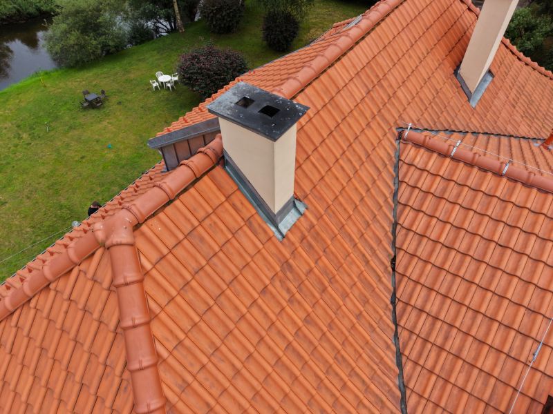
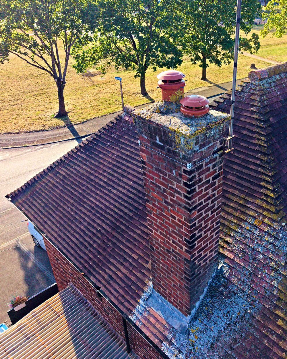
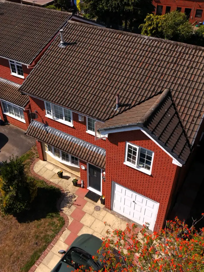
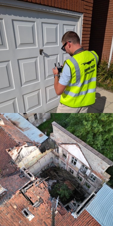
Ultra-sharp 50MP imagery capturing roof tiles, ridge caps, stack brickwork, and pots. Safely identifies cracks, weathering, and loose elements without expensive scaffolding, cherry pickers, or ladders.
Close-up inspection of lead flashing, valleys, and gutter channels. Quickly pinpoints blockages, standing water, moss accumulation, and hidden leaks before structural water damage occurs.
Rapid-response aerial documentation following adverse weather. Provides clear, time-stamped high-resolution photo evidence required by insurance adjusters, surveyors, and roofing repair estimates.

3d photogrammetry & Mesh Models​
From £300
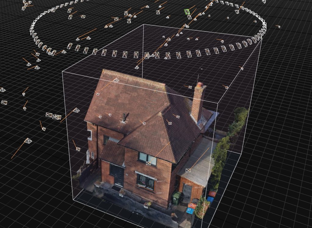
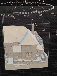
Photorealistic 3D mesh models generated from precision aerial data using WebODM processing. Enables architects, engineers, and site managers to rotate, inspect, and zoom into structures directly from any web browser.
Seamless, georeferenced 2D aerial maps combining dozens of high-res photos into one detailed, scale-accurate master image for site monitoring, layout planning.
Digital measurement of roof surface areas, pitches, and site features via WebODM processing – saving hours of manual on-site measuring and improving estimating efficiency for contractors.

Commercial & real estate media​​
From £120
Smooth, high-bitrate video fly-throughs capturing properties and commercial developments from unique, high-value angles to elevate real estate listings across Merseyside & Cheshire.
Fast-paced, engagement-ready 4K vertical clips designed for Instagram Reels & TikTok. Perfect for roofing contractors and developers wanting to highlight “Before & After” project transformations.
High-resolution site progress imagery and dynamic aerial media tailored for developers, site managers, and commercial projects across Merseyside & Cheshire.
Service Scope & Compliance Notice
Mersey Drones specialises in high-resolution aerial data acquisition, visual imagery, and 3D digital mesh modeling. We provide raw and processed visual evidence for professional evaluation. We do not provide RICS-certified structural surveys, formal engineering assessments, or legal damage reporting. All deliverables are designed to be reviewed and interpreted by qualified industry contractors or surveyors.
About mersey drones
Mersey Drones is a specialist aerial inspection and technical media provider based in Widnes, serving the Merseyside and Cheshire regions.
Founded by an experienced pilot with extensive piloting experience, we bridge the gap between traditional access methods and modern visual data. We specialize in high-resolution roof visual assessments and 3D digital twin modeling, helping our clients safely see what was once unreachable.
We operate with a “Safety First” mindset. Mersey Drones is fully CAA Licensed (Flyer & Operator IDs), protected by comprehensive commercial liability insurance, and we provide site-specific RAMS documentation for every project to ensure 100% HSE compliance


Why Partner With Us?
legal, safe, insured
-
Massive Cost Savings
Eliminate the need for expensive scaffolding or cherry pickers. Our aerial data acquisition can save you between £500 and £1,200 on access costs alone
-
Unmatched Detail & Media
Equipped with a premium 1-inch sensor, we deliver ultra-sharp visual data. Whether reviewing potential faults or capturing cinematic 4K aerials, our dynamic range guarantees premium results
-
Precision You Can Estimate
We don’t just take photos; we create 1:1 scale 3D models. Estimate roof areas, pitch angles, and gutter lengths directly in your browser to streamline your quoting and material planning
-
Rapid Local Response
Being based in Widnes, we can often be on-site within 24 hours, providing a faster and more cost-effective service than national providers